| Main » Ad Board » ДРЕВЕН ЕГИПЕТ И АФРИКА » Архитектура |
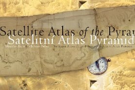
Miroslav Bárta, Vladimir Bruna - Satellite Atlas of the Pyramids
| 01.05.2024, 16:00 | |
Ценен атлас със сателитни изображения, обхващащи по-голямата част от най-мащабния некропол в Долен Египет: пирамидите и погребалните полета в Сакара, Абусир и Дахшур и слънчевите храмове в Абу Гуроб. Сателитните снимки са допълнени с редки стари карти на района, направени за самия Наполеон и от известни египтолози немеца Карл Рихард Лепсиус, французите Огюст Мариет и Жак де Морган, американеца Джордж Андрю Райснер и египетските власти. Miroslav Bárta, Vladimir Bruna - Satellite Atlas of the Pyramids, Prague, Dryada, 2007 - на английски език, от Google Drive, формат PDF. Сваляне с ляв бутон (downloading by left button) от страницата на предоставящия сървър, после през бутона стрелка надолу/after by down arrow button.
| |
| Views: 377 | Placed till: 01.06.2024 | Rating: 0.0/0 | |
| Total comments: 1 | ||
| ||
